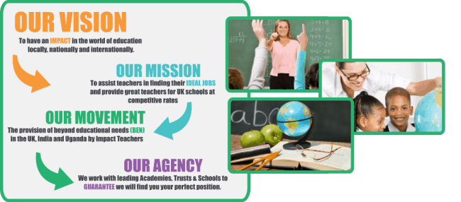
I like long walks on the beach and endless strolls through the woods, and I enjoy considering the different socio-economic classes in my travels on the Tube about town. I like the rumble of earthquakes beneath my feet and a towering tsunami above my head. What am I? A Geography teacher of course.
Besides the whole world being the embodiment of your subject, a joy of the job has been the proliferation, and outputs of, something called GIS. Now, I want you to sit up straight and pay attention because you’re about to get a quick lesson in something that you use every day and which the modern world could not do without. “GIS” refers to a Geographic Information System – any system (i.e. computer + appropriate software) that mixes data and maps.
If your data is linked to a location, it can be placed on a map, and GIS is the software that allows that to happen: Mapping and Cartography 2.0. But, of course, it is much more than that. The true power of GIS lies in its ability to integrate, manipulate, manage and analyse this spatial data. A limited list of its applications includes accident hot spot analysis, urban planning, transportation planning, disaster management and mitigation (the spread of pandemics, anyone?) and navigation. Oh yeah, one particular GIS that we could not do without? Google Maps.
We will leave the wider fruits of GIS there and now consider its relation to an educational context. Humans are visual animals, no? And for young people, as the research efforts of educational psychologists affirm, information is infinitely easier to grasp and consider when it is provided in a concrete rather than abstract form. That is, as pictures and imagery rather than black and white text (the reason for this is the physiology of growing brains). Enter GIS, its outputs and the geography classroom.
My favourite resource in the classroom is any of the myriad maps that populate the internet. Many of these are thanks to GIS, or indeed, are a type of GIS themselves. Pre-internet days would have had students sharing abused maps with students of decades past who had sat in their chair. And there is still, absolutely, a place for that. Geography students are expected to learn and harness map skills such as interpreting a key, using direction, determining distance between places and more. However, the internet and GIS has brought the real world to life in astonishing ways. With the combination of computers, software and data, students can now engage with, and manipulate, the maps in front of them to reveal patterns and deeper information.
Sites like Google Earth, Gapminder and CoolMaps are gold. But my Number 1 favourite is “The Emergency and Disaster Information Service”. A world map with a real-time display of emergency and disasters underway. There are different symbols for different problems – a sinusoidal curve for earthquakes, a biohazard symbol for epidemics, flames for fires, and so on. Click on the symbol and you get details about the event in that location. While I am writing this, a 5.0 magnitude earthquake has struck the Falkland Islands. Coronavirus is painting the map a nice biohazard, and there’s been a harmless fire in northern Kazakhstan. Noises of awe inevitably fill the room when this goes up and the requests follow quickly after.
“Sir what’s happening over there?” “Where, Simon?” “There, that squiggly line” “There’s lots of squiggly lines in that part of the map, Simon, and you’re a geographer: let’s use some place names or compass directions”.